
Myth #9: A System of Block and Lot Divisions
By Gergely Baics and Leah Meisterlin
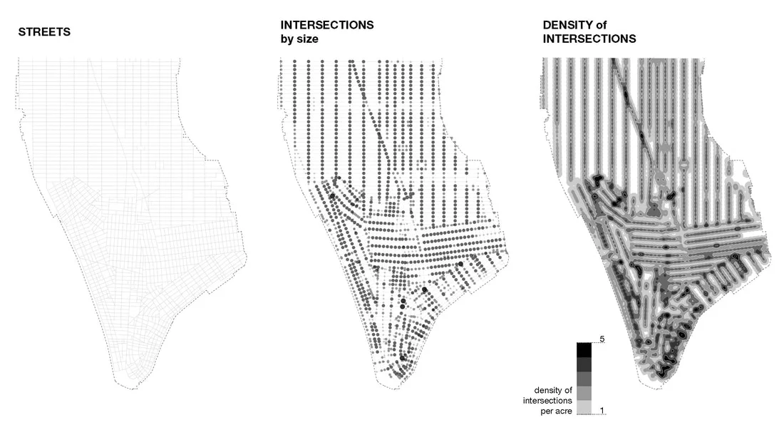
The New York City grid is often understood as a foundational system of land subdivision and cadastral allotment. Accordingly, the grid divides Manhattan into a highly regularized system of rectangular shaped blocks, subdivided into lots, making standard (and stackable) units of real estate available for urban development. The grid accomplishes the city’s apportionment through its collection of more frequently spaced and narrower east-west cross-streets and less frequently spaced and wider north-south avenues — each serving as partition and demarcation between the blocks with their nested lots. Indeed, conceptualizing the grid as a system of subdivided blocks highlights its underlying cadastral logic. Previous posts (#4 and #6) have addressed two myths following from this line of reasoning, specifically the extent to which block sizes determined lot sizes, and how the relentless regularity of blocks and lots contributed to rampant real estate speculation.
Read More


